Rain to follow snow in Norway this week
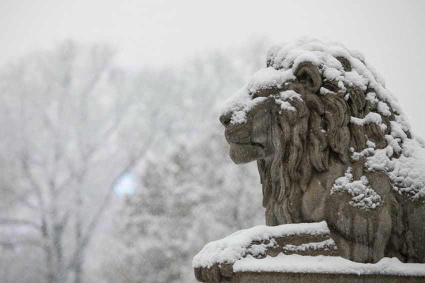
Heavy snowfall is expected in Norway later this week.
Between 10 and 15 millimetres of snow are expected in Eastern Norway from Tuesday evening.
But rain later in the week means that eastern parts of the country will only be covered under a layer of white temporarily, reports Aftenposten.
Duty meteorologist at Ragnhild Nordhagen at the Norwegian Meteorological Institute told the newspaper that a marked change in temperature would be felt over the course of the week.
“On Wednesday a low pressure area will come in from the south. After that, weather across the whole country will be affected. Low pressure areas bringing temperature change is very typical,” Nordhagen said.
The Meteorological Institute posted a graphic of the forecast low pressure front on its Twitter account.
Her ser man den milde lufta som kommer inn på onsdag kveld. Dette gir overgang fra snø/sludd til regn i #SørNorge på torsdag. Også på fjellet blir det regn opp til 1600 m.o.h. ? pic.twitter.com/nZrzwRSc1L
— Meteorologene (@Meteorologene) November 20, 2017
Cold air prior to the arrival of the low pressure front is likely to give temperatures as cold as between -5 and -10°C, Nordhagen added.
“The cold looks like lasting until Thursday. The low pressure will also bring increased wind, up to low storm levels,” the meteorologist said.
The storm would not be felt in capital Oslo but was forecast for coastal areas in Southern Norway and the western Rogaland county, she continued.
The arrival of the low pressure front would manifest in plus-degree temperatures and rain, including in mountain regions at up to 1,500 metres altitude, Nordhagen said to Aftenposten.
“On Thursday we expect around five degrees above zero to the east of the mountains. Towards the weekend it will stay mild, more or less everywhere,” she said.
READ ALSO: 10 best places to visit in Northern Norway
Comments
See Also
Between 10 and 15 millimetres of snow are expected in Eastern Norway from Tuesday evening.
But rain later in the week means that eastern parts of the country will only be covered under a layer of white temporarily, reports Aftenposten.
Duty meteorologist at Ragnhild Nordhagen at the Norwegian Meteorological Institute told the newspaper that a marked change in temperature would be felt over the course of the week.
“On Wednesday a low pressure area will come in from the south. After that, weather across the whole country will be affected. Low pressure areas bringing temperature change is very typical,” Nordhagen said.
The Meteorological Institute posted a graphic of the forecast low pressure front on its Twitter account.
Her ser man den milde lufta som kommer inn på onsdag kveld. Dette gir overgang fra snø/sludd til regn i #SørNorge på torsdag. Også på fjellet blir det regn opp til 1600 m.o.h. ? pic.twitter.com/nZrzwRSc1L
— Meteorologene (@Meteorologene) November 20, 2017
Cold air prior to the arrival of the low pressure front is likely to give temperatures as cold as between -5 and -10°C, Nordhagen added.
“The cold looks like lasting until Thursday. The low pressure will also bring increased wind, up to low storm levels,” the meteorologist said.
The storm would not be felt in capital Oslo but was forecast for coastal areas in Southern Norway and the western Rogaland county, she continued.
The arrival of the low pressure front would manifest in plus-degree temperatures and rain, including in mountain regions at up to 1,500 metres altitude, Nordhagen said to Aftenposten.
“On Thursday we expect around five degrees above zero to the east of the mountains. Towards the weekend it will stay mild, more or less everywhere,” she said.
READ ALSO: 10 best places to visit in Northern Norway
Join the conversation in our comments section below. Share your own views and experience and if you have a question or suggestion for our journalists then email us at [email protected].
Please keep comments civil, constructive and on topic – and make sure to read our terms of use before getting involved.
Please log in here to leave a comment.